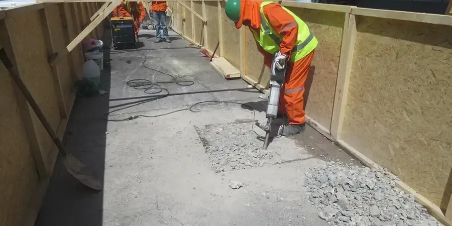
Little Rock's expansion from a river landing to a capital city left a patchwork of subsurface conditions that still challenge engineers. The Arkansas River carved deep paleochannels through the metro area, leaving soft alluvium sitting directly on weathered shale. Downtown high-rises and bridge approaches sit on fill that varies from 5 to 25 feet thick. This irregular geology demands more than a few borings. Seismic tomography maps velocity contrasts across entire site footprints in a single mobilization. The data reveals where competent rock is shallow, where fracture zones weaken the profile, and where fill pockets could cause differential settlement. Our crew runs 24- and 48-channel arrays with sledgehammer and accelerated weight drop sources to resolve layers down to 100 feet. Every line is processed with first-arrival picking and ray tracing algorithms that produce 2D cross-sections our engineers can interpret alongside boring logs. For critical structures near the river, combining seismic tomography with deep excavation monitoring provides a full picture of ground behavior before shoring design begins.
A velocity tomogram doesn't just find bedrock. It maps the stiffness gradient across the entire site so you can design for what's actually there, not what the nearest boring says.