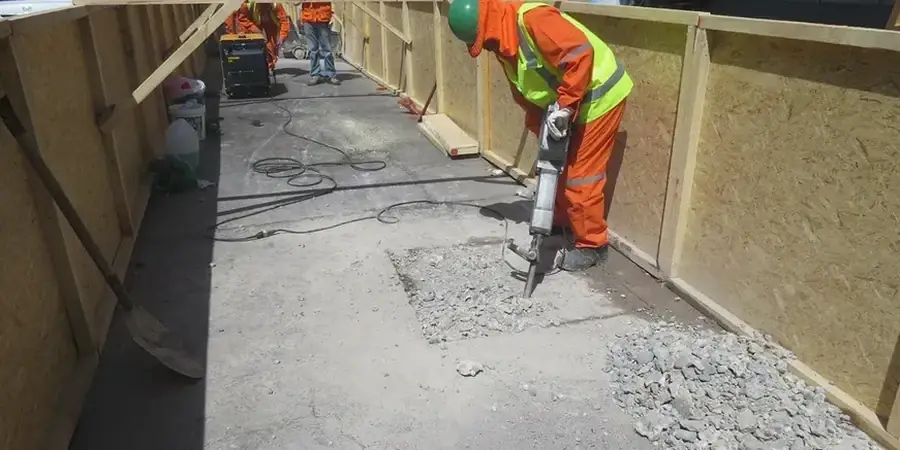
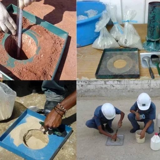
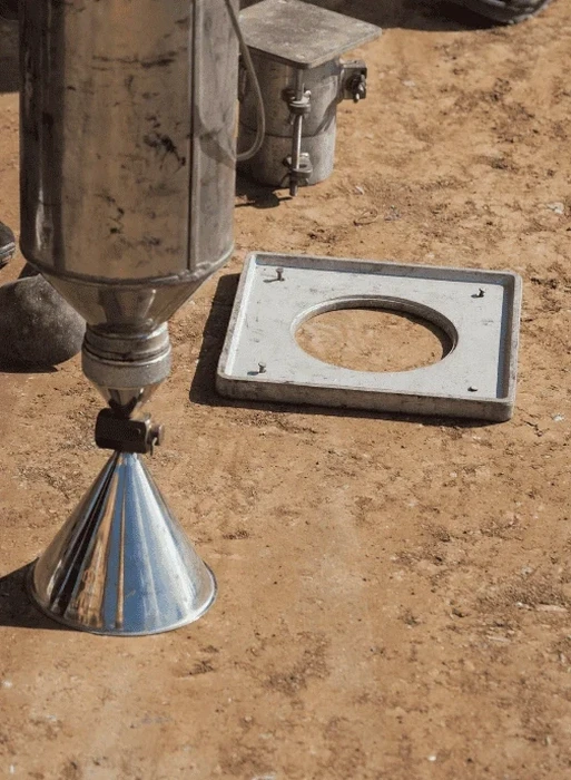
Little Rock sits on the south bank of the Arkansas River, where the alluvial soils switch from sandy loam to fat clay within a few hundred feet. That subsurface variability is exactly why the sand cone method remains the go-to density test here—it gives you a direct reading, no calibration against nuclear sources, no interference from the iron-rich lateritic gravels that show up in the western part of the county. In our experience across Pulaski County, a test pit logged at the start of the job saves hours of head-scratching when the compaction numbers come back unexpected. We run the ASTM D1556 procedure with graded Ottawa sand that we oven-dry on site before each series, and we verify the calibration cone at morning and afternoon breaks to stay within 1% of the initial volume. For pavement subgrades along I-430 or commercial pads near the Port of Little Rock, the combination of a well-documented sand cone test and a companion CBR field test gives the geotech engineer what they actually need: a compaction curve that matches the Proctor and a bearing capacity number the structural team can stamp.
A sand cone test gives you one number: in-place density. But paired with a Proctor and a good soil log, it tells you whether the compactor, the moisture, and the lift thickness are working together.