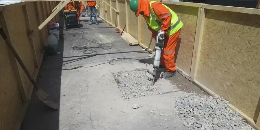
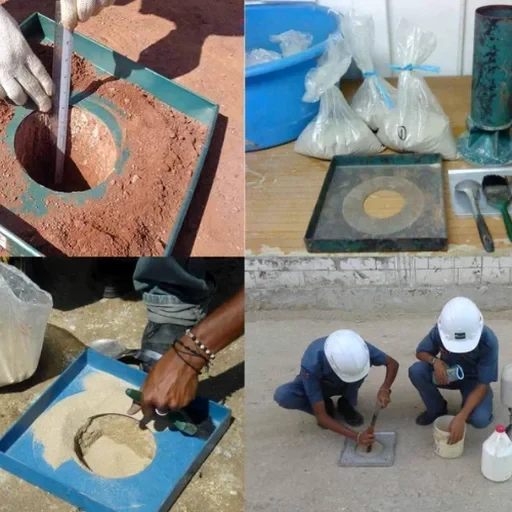
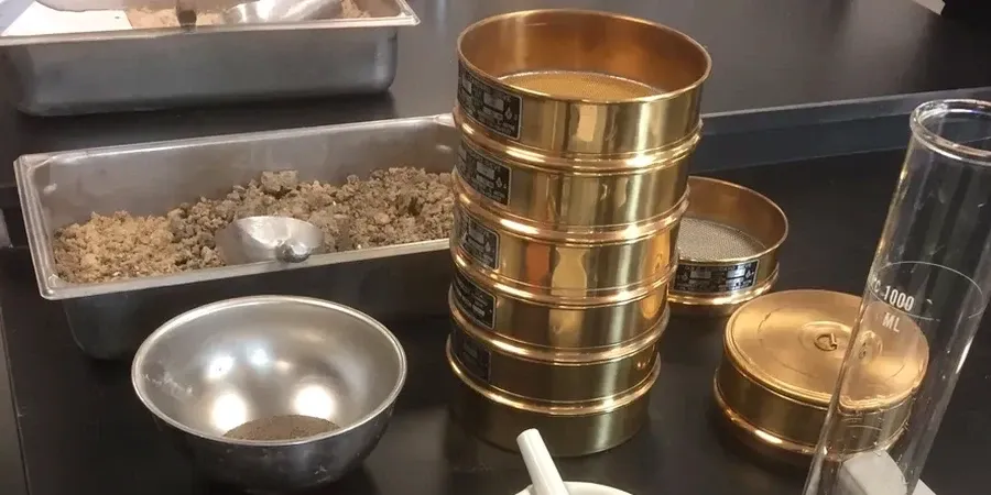
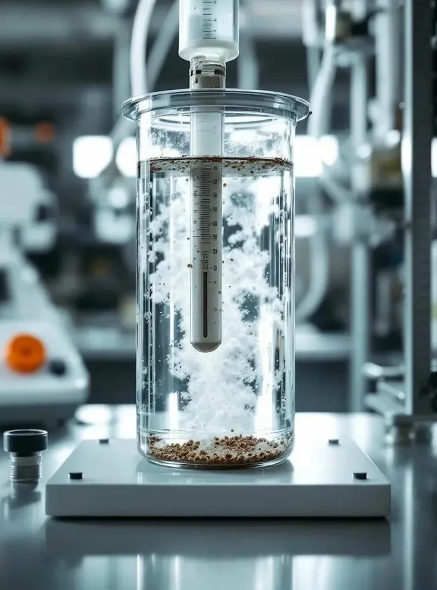
Little Rock soil tells two different stories. West of I-430, you hit residual clays weathered from the Jackfork Formation. East toward the Arkansas River, recent alluvial deposits dominate. The grain size distribution dictates whether you can compact fill effectively or need to design for expansive behavior. A standard proctor test means little without the particle breakdown behind it. For any project near the McClellan-Kerr waterway, we combine sieve analysis with hydrometer readings to catch the silt fraction that leads to differential settlement. This data shapes your foundation design long before concrete hits the ground. We deliver ASTM D2487 classifications from our accredited lab, ensuring every soil description ties back to a measured curve, not a visual guess. When a test pit exposes layered strata, we sample each horizon separately because mixing them masks the weak layer that actually controls stability.
A sieve curve without the hydrometer tail misses the 10% of fines that cause 90% of subgrade failures in central Arkansas.