GEOTECHNICAL ENGINEERING
LITTLE ROCK
HomeUnderground ExcavationsGeotechnical excavation monitoring

Geotechnical Excavation Monitoring in Little Rock: Data-Driven Safety for Urban Cuts

Technical studies that support your project.

LEARN MORE

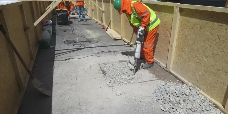
The Arkansas River carved a wide floodplain through Little Rock, leaving behind a complex stratigraphy of overconsolidated clays, loose alluvial sands, and shale bedrock that can appear at highly irregular depths. When a contractor opens a 25-foot cut downtown for a new parking garage adjacent to a century-old masonry building, the margin for error essentially disappears. The alluvial deposits in the Riverdale area and near Murray Park behave one way under dewatering, while the shale formations underlying the Heights can react quite differently to stress relief. We deploy automated total stations recording prisms at 15-minute intervals and vibrating wire piezometers tracking pore pressure decay in real time, feeding data into a cloud-based dashboard that the structural engineer and the owner’s rep can access simultaneously. This approach, rooted in the observational method described by Peck (1969), allows the design team to verify that wall deflections stay within the thresholds set during the deep excavations analysis phase.

Real-time deflection data from an excavation on Markham Street prevented a costly utility strike when the inclinometer showed unexpected movement at 18 feet depth.

Our service areas

Process and scope

Every monitoring program in Little Rock has to account for the seasonal swings in the Arkansas River stage, which can jump 12 feet after a heavy spring storm upstream and alter the groundwater regime beneath an active excavation overnight. We see many projects where the initial instrumentation layout looks adequate on paper but misses the influence of a forgotten 1920s sewer line that runs parallel to the cut and acts as a preferential drainage path. Our field crews install inclinometer casings behind the soldier pile wall, embed strain gauges on each tieback level, and place settlement points on the sidewalk and the nearest building columns, because the real risk often lies in differential settlement rather than total magnitude. The data is processed against trigger levels defined in the project’s instrumentation plan, and we generate a morning summary that notes any acceleration in movement rates—information that often prompts a call to adjust the ground anchors preload or modify the excavation sequence.
Geotechnical Excavation Monitoring in Little Rock: Data-Driven Safety for Urban Cuts
Technical reference — Little Rock

Local considerations

The Wilcox Group formations that underlie much of central Little Rock can present a deceptive stability: the highly plastic, overconsolidated clays will stand vertically for days after cutting, then begin to relax and spall as pore water migrates toward the exposed face. Combine this behavior with vibrations from constant truck traffic on I-630 just two blocks away, and a monitoring program that only looks at wall deflection may miss the progressive softening of the soil mass behind the wall. We have observed cases where piezometer readings remained elevated for three weeks after dewatering began, indicating that the low-permeability clay lenses were draining far slower than the design assumed. A solid instrumentation array—pairing inclinometers with piezometers and surface settlement points—allows the geotechnical engineer to distinguish between simple elastic wall deflection and a deeper stability problem that could propagate to the street or the adjacent building foundations, a scenario that is far more expensive to remediate after the fact than to detect early.

Need a geotechnical assessment?

Reply within 24h.

Email: [email protected]

Video resource

Regulatory framework

ASCE 7-22 (Minimum Design Loads and Associated Criteria for Buildings and Other Structures), IBC 2024 (International Building Code, Chapter 18: Soils and Foundations), ASTM D1586 (Standard Test Method for Standard Penetration Test (SPT) and Split-Barrel Sampling of Soils), ASTM D2487 (Standard Practice for Classification of Soils for Engineering Purposes (Unified Soil Classification System)), FHWA GEC No. 4 (Ground Anchors and Anchored Systems)

Technical parameters

ParameterTypical value
Typical monitoring frequency during active excavation2 to 4 readings per day per sensor
Inclinometer casing depth (below excavation base)10 to 15 ft into competent shale
Optical survey accuracy (total station)±1 mm + 1 ppm over baseline
Piezometer response time (VW type)< 3 seconds for 95% of pressure change
Load cell capacity range (tieback anchors)50 to 200 kips, calibrated to ±0.5% FS
Crack gauge resolution (adjacent structures)0.01 mm, with temperature compensation
Data push interval to cloud dashboard15 minutes (configurable per project)

Common questions

What is the typical cost range for geotechnical excavation monitoring on a commercial project in Little Rock?

For a downtown excavation lasting 4 to 6 months, the monitoring scope—including automated total station tracking, 2 inclinometer strings, 4 piezometers, and weekly reporting—typically falls between US$860 and US$2,470 per month depending on the number of sensors and reporting frequency. Projects requiring 24/7 live data with engineer-of-record review fall at the upper end of that range.

How do you set the alarm thresholds for wall deflection?

Thresholds are derived from the project’s geotechnical baseline report and the structural engineer’s deformation analysis. We typically establish three levels: a green “normal” range (below 50% of predicted maximum), a yellow “notification” level (50-80%), and a red “action” level (above 80%). The action level triggers an immediate site meeting to review the data and decide whether to install additional tiebacks, reduce the bench height, or stop work until the cause is understood.

What instrumentation is required when excavating next to an existing building in downtown Little Rock?

At a minimum, we recommend optical prisms on the building facade and settlement points on the sidewalk, paired with inclinometer casings behind the shoring wall. If the excavation extends below the building’s foundation level, we add piezometers to monitor drawdown and crack gauges across any existing fractures. The IBC requires protection of adjacent structures, and the monitoring data provides the documentation to demonstrate that the excavation is not causing damage.

How quickly can we see the monitoring data after installation?

The automated total station begins recording within an hour of setup, and the first deformation readings are available on the cloud dashboard the same day. Piezometers and inclinometers require a 24- to 48-hour stabilization period after grouting before they provide reliable baseline readings. After that, data refreshes at whatever interval the project specifies—commonly every 15 minutes for optical points and hourly for vibrating wire sensors.

Does the monitoring plan need to be signed by a Professional Engineer in Arkansas?

Yes. The instrumentation and monitoring plan must be prepared and sealed by a Professional Engineer licensed in Arkansas. Our reports carry the seal of our Arkansas-registered geotechnical PE, and we coordinate directly with the engineer of record to ensure the monitoring triggers align with the assumptions used in the shoring design.

Location and service area

We serve projects in Little Rock and surrounding areas.

View larger map