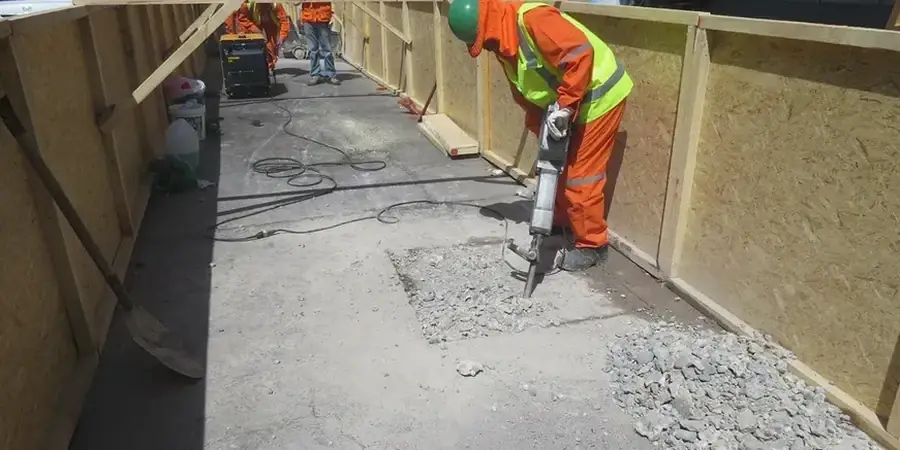
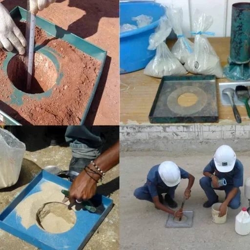
The Arkansas River carved a deep alluvial trench through Little Rock, and the first thing we check on any site is which side of the old floodplain you’re on. North of the river, you hit the stiff overconsolidated clays of the Mississippi Embayment within a few feet; south and east toward the airport, the soft organic silts and backswamp deposits can extend 20 ft or more. A shallow foundation design here isn’t about copying a textbook—it’s about confirming whether that stiff crust is continuous across your pad. We run test pits early in the campaign to map the desiccation zone visually, and we back up every visual log with SPT blow counts to lock in a defensible allowable bearing pressure under footings that the local building official will accept without delay.
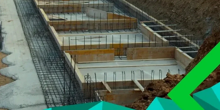
A 2-foot-thick desiccated crust in Little Rock can carry 3,000 psf—until it can’t. The soft lens underneath decides the design.