GEOTECHNICAL ENGINEERING
LITTLE ROCK

Geotechnical Engineering in Little Rock

Technical studies that support your project.

LEARN MORE

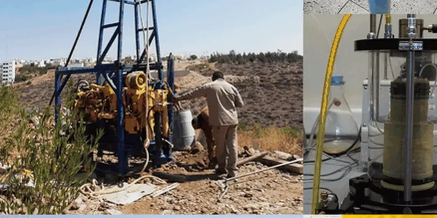
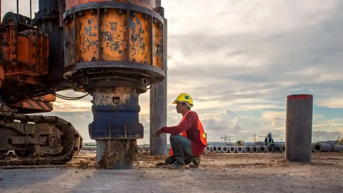
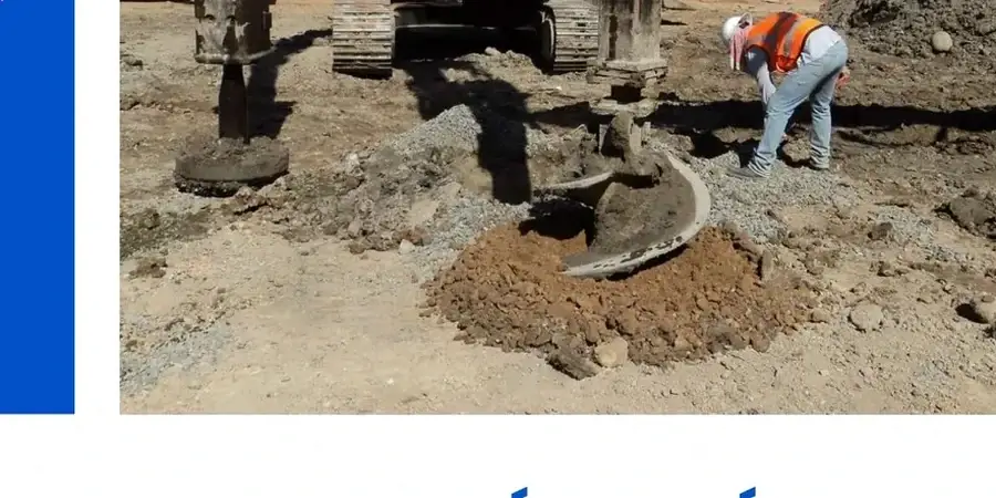
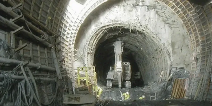
Little Rock sits right on the fall line where the Gulf Coastal Plain meets the Ouachita foothills. That geological boundary creates a real mixed bag of subsurface conditions — weathered shale on the west side, deep alluvial clays along the river, and pockets of loess that erode fast when exposed. Any soil mechanics study here has to account for that variability. You cannot assume what worked in Conway will hold up in Hillcrest or down by the port. The lab runs full classification suites under ASTM D2487 and shear strength tests on undisturbed Shelby tube samples. When the Arkansas River floods, groundwater rises quickly, and that skews both bearing capacity and settlement predictions. A properly scoped soil mechanics study catches those seasonal effects before the structural engineer locks in the foundation design. For deeper profiles in the alluvium, we often pair lab data with field data from CPT testing to map the soft zones precisely, and we pull Atterberg limit results into the slope stability analysis whenever the site has any cut over eight feet.

Expansive clays in west Little Rock have produced swell pressures exceeding 5,000 psf — enough to lift a lightly loaded slab if not designed for.
Geotechnical Engineering in Little Rock
Technical reference — Little Rock

Our service areas

Local geology

The most common mistake we see in Little Rock is treating the local red clay as just a moisture barrier. It is not. The weathered shale-derived clays across west Little Rock and Chenal Valley are moderately to highly expansive, and when a contractor skips the swell test, floor slabs crack within two seasons. A proper soil mechanics study pulls undisturbed samples at foundation grade and runs consolidation and swell tests per ASTM D4546. That gives the structural engineer real numbers for stiffening the slab or going to a pier-and-beam system. The IBC Chapter 18 triggers a site-specific geotech report for any commercial building over 5,000 square feet, and the City of Little Rock permitting office enforces it. We also screen for sulfates in the soil if the site history suggests old industrial fill — sulfate attack on concrete is a slow killer in the Arkansas River bottoms. On tight urban sites downtown, where access limits heavy rigs, we combine limited test pits with lab index testing to characterize the upper 12 feet cost-effectively without sacrificing data quality.

Regulatory framework

ASTM D2487 — Standard Practice for Classification of Soils for Engineering Purposes (Unified Soil Classification System), IBC Chapter 18 — Soils and Foundations (adopted by the City of Little Rock with Arkansas-specific amendments), ASCE 7-22 — Minimum Design Loads and Associated Criteria for Buildings and Other Structures, ASTM D1586 — Standard Test Method for Standard Penetration Test (SPT) and Split-Barrel Sampling of Soils, ASTM D4546 — Standard Test Methods for One-Dimensional Swell or Collapse of Soils

Need a geotechnical assessment?

Reply within 24h.

Email: [email protected]

Why choose us

Little Rock sits at roughly 335 feet above sea level, but the Arkansas River flood stage at the Main Street gauge hits 23 feet and the water backs up into low-lying commercial zones. When the alluvium gets saturated, fine sands lose effective stress fast. A soil mechanics study that does not run a cyclic triaxial or at least a liquefaction screening on the saturated sand lenses under the riverfront area is incomplete. The USGS seismic hazard maps put central Arkansas in a moderate shaking zone — the New Madrid Seismic Zone is far enough to not dominate, but the local faults around the Ouachita thrust belt can still produce a magnitude 5.5 event. Combine saturated loose sand with even moderate shaking, and you have a real liquefaction risk under the River Market District. Our lab runs grain-size distribution on every sand sample below the water table, and if the fines content is under 15 percent with a uniformity coefficient under 3, we flag it for the structural engineer immediately. Ignoring that costs more in litigation than the testing ever will.

Technical parameters

ParameterTypical value
Standard penetration test (SPT) correlationN-values correlated to relative density per ASTM D1586
Soil classification systemUSCS per ASTM D2487 (GW, SP, CL, CH, etc.)
Shear strength testingConsolidated-undrained triaxial (CU) or direct shear on saturated samples
Consolidation and swellOne-dimensional oedometer per ASTM D2435 / D4546
Moisture-density relationshipStandard Proctor ASTM D698 or modified Proctor ASTM D1557
Corrosivity screeningpH, resistivity, sulfate, and chloride per AASHTO T290/291
Bearing capacity analysisGeneral shear and local shear models per Terzaghi-Meyerhof
Report turnaroundLab data within 5–7 business days; final report within 10 business days

Common questions

Does the City of Little Rock require a soil mechanics report for a single-family home permit?

The City does not universally require a geotechnical report for single-family residential permits, but if the lot is on a slope over 15 percent or in a mapped floodplain, planning staff will often condition the permit on a soils report. Most local structural engineers will not design a post-tensioned slab without Atterberg limits and a swell test anyway.

What does a soil mechanics study cost for a typical commercial lot in Pulaski County?

For a standard commercial lot under two acres with a single boring and full lab suite, budget between US$3,570 and US$5,940. The range depends on depth, number of Shelby tube samples, and whether consolidation or triaxial testing is required. Sites with fill or debris add cost because sampling takes longer.

How deep do you drill for a soil mechanics study in the Arkansas River alluvium?

It depends on the foundation type. For shallow footings, we typically go to 30 feet below grade to capture the active zone and any soft clay lenses. For deep foundations like driven piles or drilled shafts, borings extend to at least 10 feet below the pile tip, often 60 to 80 feet in the alluvium.

Can you test for pyrite or sulfate in the soil around Little Rock?

Yes. The shale formations around the Ouachita foothills can contain pyrite and sulfate minerals. We run pH, resistivity, sulfate content, and chloride per AASHTO T290/291. If sulfate levels exceed 0.1 percent in soil or 120 ppm in groundwater, we recommend Type V cement or sulfate-resistant concrete per ACI 318.

Location and service area

We serve projects in Little Rock and surrounding areas.

View larger map